Information about the hosting institution
Warsaw University of Technology is the oldest technical university in Poland, employing 2185 members of academic staff, including 271 professors and 1430 associate and assistant professors. It has 19 faculties covering almost all fields of science and technology. The origins of Warsaw University of Technology date back to 1826 when the Preparatory School for the Polytechnic Institute was opened.
Department of Spatial Planning and Environmental Sciences (the LOC) is a full member of AESOP from 2012. The Department is employing 22 full-time academic staff members and providing teaching activities for a total number of 387 students.
Research and educational profile
Teaching activity:
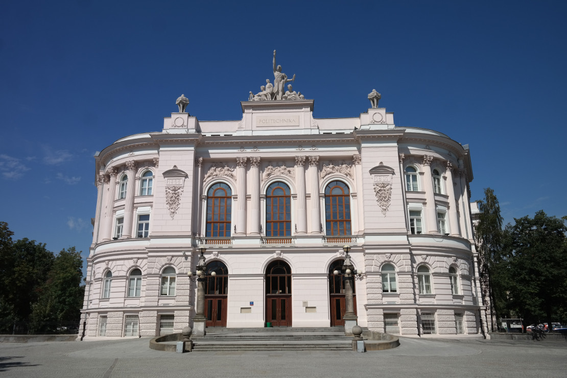
The Faculty of Geodesy and Cartography of the Warsaw University of Technology was founded in 1921, which makes it the oldest geodesy research and teaching institution of higher education in Poland. In 2005, the Faculty introduced a new programme in Spatial Planning. The programme is under academic supervision of the Department of Spatial Planning and Environmental Sciences. The courses taught as part of the Spatial Planning programme reflect the traditions, the scientific achievement and the teaching record of the faculty in the field of spatial planning, city planning, natural sciences, rural development, applying the spatial information technologies, processing and interpreting of satellite and aerial images, cartography and real estate management. This translates into competencies acquired by future graduates at different degree levels, including their knowledge, skills and social attitude.
Students in the field of Spatial Planning may pursue two specialisations:
- Urban design in spatial planning
- Environmental conditions in spatial planning
The students are offered full-time programmes (first-cycle Engineer's degree – 7 semesters and second-cycle Master's degree – 3 semesters) as well as part-time programmes (first-cycle Engineer's degree – 8 semesters and second-cycle Master's degree – 4 semesters). Graduates have the opportunity to continue education by pursuing the third-cycle doctoral programmes offered at the Faculty of Geodesy and Cartography of the Warsaw University of Technology.
Research activity:
The research work of the academic staff includes a wide variety of issues related to analysis of natural, social and economic factors from the perspective of spatial planning. The main research areas explored by the LOC are:
- city and spatial planning,
- issues related to urbanization in the context of sustainable development strategy,
- sustainable development as a component of development policies at the local, regional and supraregional levels,
- rural development,
- reclamation, remediation and revitalisation of urbanised, postindustrial, postmillitary and chemically degraded sites,
- modelling, simulations and forecasting of phenomena and processes in spatial planning,
- research and analysis of the real estate market for the needs of spatial planning.
Intense research activities pursued by the LOC are reflected in conferred academic degrees as well as in distinctions and prizes awarded for their scientific and research work. The research work is followed by numerous scientific publications and articles published in Polish and international reviews. The staff also carries out numerous research projects. The LOC is also the host of a series of conferences started in 2011 which are devoted to sustainable development in spatial planning taking into account today's challenges and requirements of the field, as well as some of the best European and international models.